 As climate change causes ever increasing fears of flooding, Dr. Peter Lelievre’s work in geophysical imaging becomes ever more important in the province of New Brunswick and beyond.
An assistant professor in Mount Allison University’s department of mathematics and computer science, Dr. Lelievre is an applied geophysicist who images what’s underground. Earlier in his career, that pursuit was tied to mineral exploration or “trying to help people find the materials such as metals that our society uses for basic building materials.” More recently, he’s become interested in imaging and understanding what happens with flood infrastructure.
“With climate change and rising sea levels, we need to understand more about how water moves through these flood barriers,” Lelievre explains. “Geophysical imaging can help us better understand these things, and also to try and find any erosional issues that could cause a breach.”
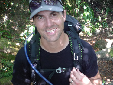
Lelievre walks on the fields and marshes near Sackville, N.B. — which are the same places his research now takes place. Being at Mount Allison means he’s surrounded by the dike land and he, his wife, and his dog walk on it frequently.
“It's far more at the forefront of my mind in my daily life,” he says. “It's been really nice to be able to shift and connect my research to that part of the local community and my daily life.”
Lelievre uses tools that measure electrical and electromagnetic fields and then he uses heavy mathematical methods and computational power to process the data.
“We run the data through these algorithms that we develop and this creates an image of what's underground,” he says of his use of the Digital Research Alliance of Canada’s high-performance computing tools. “That's where the heavy computational part fits in. These are tremendously large computational problems.”
For his heavier research, an imaging task could require 600 central processing units (CPUs), consume roughly two terabytes of random access memory (RAM) and take over four-days to finish. He and his research team use the modern Fortran programming language and create their own software to process their electrical and electromagnetic data and generate images of the Earth.
With the help of his students, postdocs and colleagues, he develops data processing methods that could be used in the field, and he collects field data to help test those methods.
“Eventually we'd like to be able to create data processing methods we can use in the field on a laptop, and so you’d just have a small, everyday laptop, where you get a result in effectively real time,” he says, and adds that the history of computing tells us that could well happen in the near future.
Spring, 2023